 Hiking
 Login
Login More
More EN
EN Premium
View of the Markiezaatsmeer
automatic translation
7.8 km • Bergen op Zoom
route offered by
 Addresse starting point (approximate)
Fianestraat 21, 4617 RA Bergen op Zoom, Nederland
 signage
The route is fully signposted with nodes.
 Description
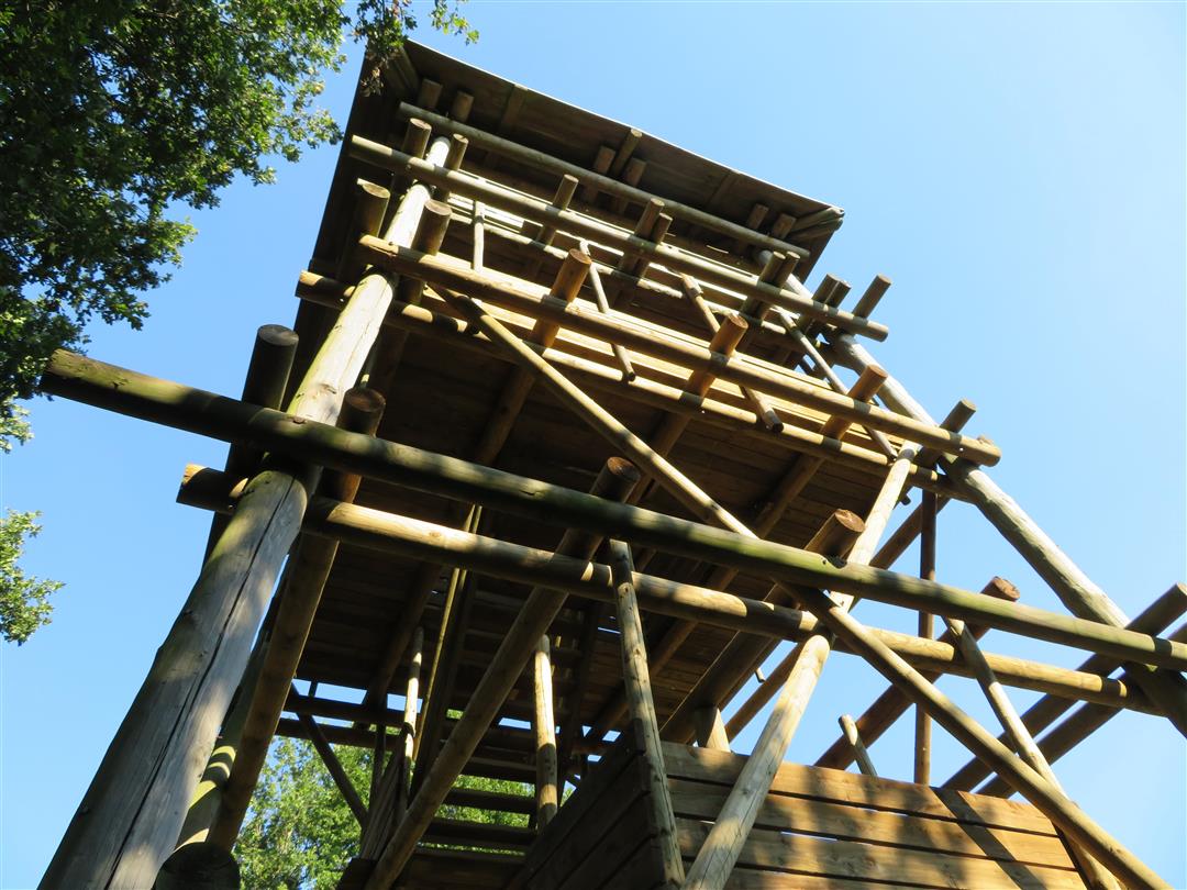
Explore the western part of the Brabantse Wal with this beautiful hiking route of 7.8 km. Start your journey at the majestic Kraaijenberg, where the expansive sandy grounds meet the wide sea clay area. The iconic escarpment invites you to visit the visitor center or climb the observation tower for a phenomenal view of the surrounding natural landscape.
Halfway through the hike, the allure of Estate Lindonk beckons, an oasis of pine forests, meadows, and oak coppice. Wander through the serene greenery and let the differences in elevation lead you to unforgettable panoramic views over the Markiezaatsmeer. Here, the rich biodiversity makes every step a voyage of discovery. Towards the end of the route, Vossenweg welcomes you with its gentle slope and length of 550 meters, flanking the railway at Woensdrecht.
automatic translation
 nodes to follow
0 km
0.5 km
0.7 km
1.6 km
1.6 km
2.4 km
2.7 km
3.1 km
4.1 km
4.2 km
5 km
5.2 km
6.9 km
7.1 km
7.2 km
7.7 km


 Upgrade to Premium Plus
