 Hiking
 Login
Login More
More EN
EN Premium
Overijssel Moraine Hills Path
automatic translation
9.4 km • Ommen
route offered by
 Addresse starting point (approximate)
Korteveldsweg 3, 8148 RD Lemele, Nederland
 signage
The route is not signposted. Use a GPS device or our app to follow the route.
 Description
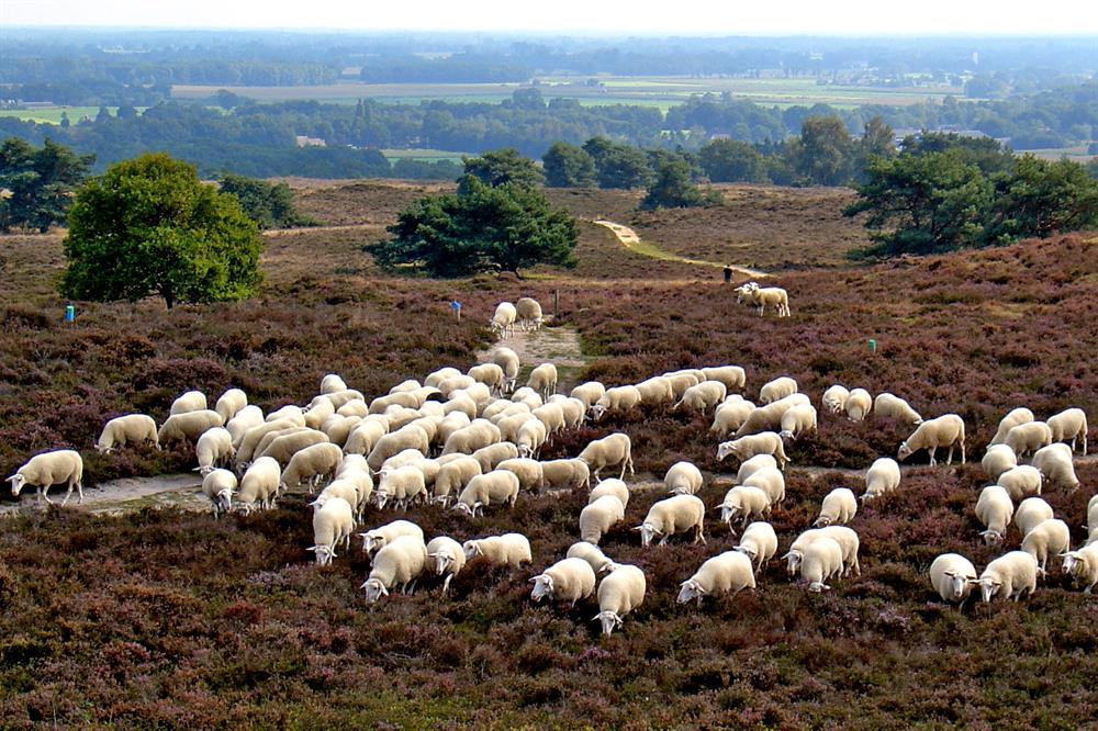
Discover the magic on this 9.4 km long walking trail over the beautiful Overijssel moraine hills. The highlight is the Archemerberg, a majestic witness of the penultimate ice age. Here you can discover the traces of advancing land ice and enjoy the extensive forest and heathland areas.
After the refreshing silence of the Archemerberg, the route continues towards the breathtaking Lemelerberg. Climb this imposing moraine hill and be surprised by forest areas, extensive heaths, and the legendary 'Dikke Steen' (Fat Stone). Unique flora and fauna such as the antlion await your discovery. This is the ideal path for nature lovers and walkers looking for an unforgettable experience in the heart of authentic Dutch landscape. Walk in the footsteps of the ice age and marvel at the formation of this landscape, while filling your lungs with pure, fresh air.
automatic translation
 nodes to follow
0 km
0.2 km
0.5 km
1 km
1.7 km
2.2 km
2.6 km
3.3 km
4 km
4.1 km
4.2 km
5.5 km
6 km
6.7 km
7.2 km
7.2 km
7.6 km
7.6 km
8.3 km
9.1 km
9.4 km


 Upgrade to Premium Plus
