 Hiking
 Login
Login More
More EN
EN Premium
Etersheimer Route
automatic translation
10.5 km • Edam-Volendam
route offered by
 Addresse starting point (approximate)
Hoornse Jaagweg 1, 1474 HM Oosthuizen, Nederland
 signage
The route is fully signposted with nodes.
 Description
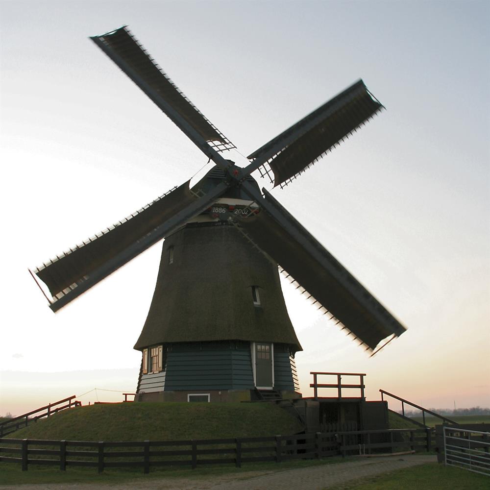
Discover the charm of windmills and polders on this 10.5 km walking route, featuring a special encounter: the Etersheimer Braakmolen. This gem of ingenuity from the history of poldering is a jewel in Etersheim, municipality of Edam-Volendam, and tells the story of the struggle against water. The Etersheimer Braak, an area with a rich history dating back to a dike breach, has a mill that was devastated by fires but rose like a phoenix from the ashes in 2005. Now operational, it shows itself in all its glory; it is a prime example of Dutch mill culture.
What makes this route even more unique is 'De Breek', a visitors centre located in a barn next to the mill. Every weekend, 'De Breek' welcomes lovers of culture and history. As you take in the surroundings, the Etersheimer Braakmolen offers regular openings, allowing you to peek into the history of polder drainage. This walk is perfect for a weekend getaway, where you can experience the connection between man and nature and the innovative spirit of the Netherlands.
automatic translation
 nodes to follow
0 km
0.1 km
0.2 km
0.4 km
2.9 km
2.9 km
3.9 km
4.1 km
4.8 km
5.2 km
6.6 km
7.9 km
8.1 km
10.5 km


 Upgrade to Premium Plus
