 Hiking
 Login
Login More
More EN
EN Premium
Brouwhuissche Trail
automatic translation
10.9 km • Deurne
10.9 km
0.0 km
0.0 km
route offered by
 Addresse starting point (approximate)
Schooteindseweg 1, 5756 BD Vlierden, Nederland
 signage
The route is fully signposted with nodes.
© Chris Peel, CC BY-SA 3.0, via Wikimedia Commons
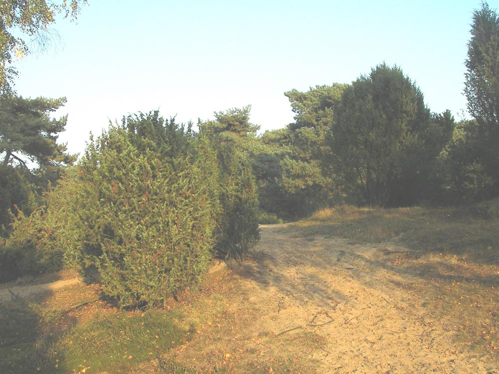
 Description
This route takes you through the Brouwhuissche Heide, an extensive Scots pine forest. You'll enjoy the serene quiet and might even catch a glimpse of the sand lizard scuttling among the juniper shrubs. This unique heathland, where old folk tales of witches and ghosts originate, is a paradise for nature lovers and hikers looking for a special experience.
automatic translation
 nodes to follow
0 km
0.5 km
1.7 km
2.5 km
3.5 km
5.6 km
6.4 km
8 km
9.2 km
9.6 km
10.9 km


 Upgrade to Premium Plus
