 Hiking
 Login
Login More
More EN
EN Premium
Along the Eleven Barrows
automatic translation
9.8 km • Roermond
route offered by
 Addresse starting point (approximate)
Markt 14, 6071 JD Swalmen, Nederland
 signage
The route is fully signposted with nodes.
 Description
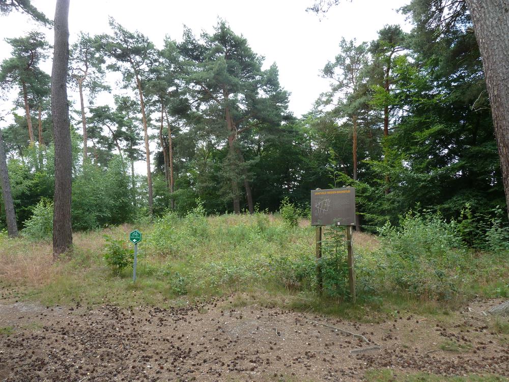
You will discover the eleven mysterious barrows on the Bosberg Swalmen. These silent witnesses of times gone by were erected in an era still shrouded in the mists of prehistory. As you walk over the burial field, you stand face to face with the early history of this region.
Further on lies Bisschopskamp, a beautiful estate where nature shows its diversity. Walking along stately beech lanes and through varied forest areas, you see how the landscape gradually changes character. The history of this area is closely connected to ancient Roman roads, adding an extra dimension to your walk.
At the end of the route, Castle Hillenraad emerges, a moated castle that makes the past of Limburg tangible. With a proud history dating back to the 14th century, the castle and its estate provide a regal conclusion to your walk. This national monument, complete with corner towers and a beautiful park, sets the stage for an atmospheric end to an unforgettable walk through the heart of Limburg.
automatic translation
 nodes to follow
0 km
1.1 km
1.8 km
3 km
3.1 km
3.6 km
5.1 km
5.8 km
6 km
6.2 km
7.2 km
8.1 km
8.5 km
8.7 km
9.6 km
9.8 km
9.8 km


 Upgrade to Premium Plus
