 Hiking
 Login
Login More
More EN
EN Premium
Across the Waalsdorpervlakte
automatic translation
11.3 km • Wassenaar
route offered by
 Addresse starting point (approximate)
De Waal Malefijtpad, Waalsdorper Vlakte, 2597 AK Wassenaar, Nederland
 signage
The route is fully signposted with nodes.
 Description
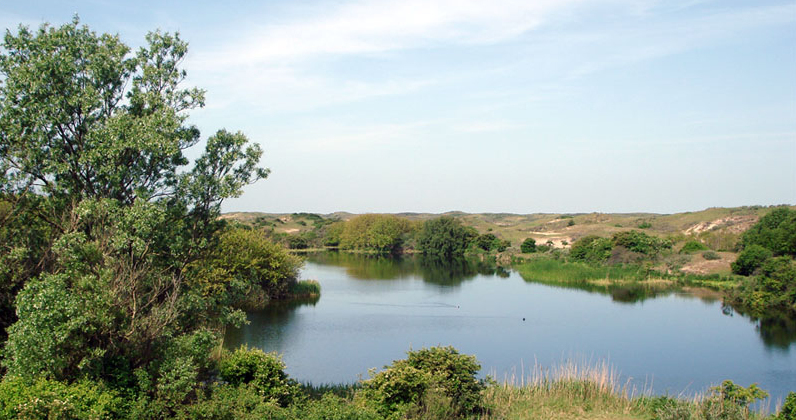
Discover the history and natural beauty of the dunes along the Dutch coast. The journey takes you through the impressive Waalsdorpervlakte, a place with profound historical significance due to the tragic events during the Second World War, now an important war memorial and a protected Natura 2000 area. The route then leads you through Meijendel, a vast and water-rich dune landscape where flora and fauna thrive, perfect for nature lovers and those seeking tranquility.
Further along the route, you pass by the historical Station Wittebrug-Pumpstation, a municipal monument that reminds of the rich railway past. You will also get a view of the Headquarters of the International Criminal Court, a place of global importance for justice, located in an area rich with history. The combination of nature, silence, and history makes this route a unique experience.
automatic translation
 nodes to follow
0 km
2.2 km
2.4 km
3.9 km
4 km
4.1 km
6.2 km
6.4 km
7.7 km
8.4 km
8.4 km
9.2 km
9.6 km
10.7 km
11.2 km


 Upgrade to Premium Plus
