 Hiking
 Login
Login More
More EN
EN Premium
Drifting Sands Hike
automatic translation
8.7 km • Loon op Zand
route offered by
 Addresse starting point (approximate)
Roestelbergseweg 2, 5171 RL Kaatsheuvel, Nederland
 signage
The route is fully signposted with nodes.
 Description
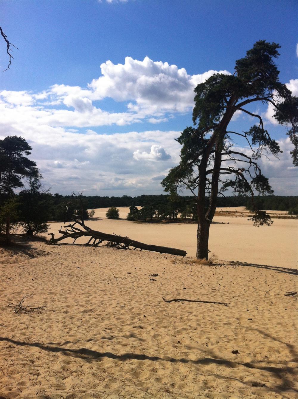
Begin your hiking adventure at De Roestelberg, a beloved starting point on the edge of the impressive National Park De Loonse en Drunense Duinen. With a welcoming restaurant and a nearby camping site, you have everything at hand for a perfect start. Continue your journey and be surprised by the varying landscapes of the national park. Admire the stately coniferous forests and feel the soft sand of the drifts beneath your feet.
This area, rich in flora and fauna, is a paradise for nature lovers. Enjoy the unique drifting sand landscape, a rare phenomenon in the Netherlands, and you might even spot a badger or deer during your hike. The hiking route aligns with the pursuit of nature conservation while offering an unforgettable experience with the Brabant landscape.
automatic translation
 nodes to follow
0 km
0.2 km
0.3 km
1.3 km
1.8 km
2.8 km
3.2 km
4 km
4.8 km
5.5 km
5.7 km
6.1 km
6.6 km
6.8 km
7.3 km
8.4 km
8.5 km
8.7 km


 Upgrade to Premium Plus
