 Hiking
 Login
Login More
More EN
EN Premium
Discover the Belgian Ardennes with virtual hiking nodes. More than 12,750 km of new hiking pleasure awaits you in our NodeMapp Hike app!
We are launching a brand new virtual hiking node network in Wallonia! Starting today, with our popular NodeMapp Hike app, you can explore over 12,750 km of hiking trails in the most beautiful areas of the Belgian Ardennes.
A Success Story in Flanders for Many Years
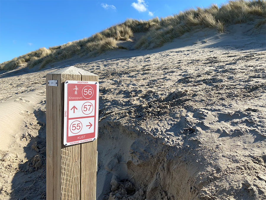
Hiking nodes have been immensely popular in Flanders for over 10 years. Every year, more than 1.5 million Flemish people enthusiastically use these hiking nodes through our planner. Thanks to investments from the Flemish Provincial Tourist Organizations, there is now a hiking node network of over 14,000 km. This network includes the most beautiful routes, all interconnected. Signposts with numbered nodes are placed at the intersections of these routes on the ground. With our route planner, you can easily choose which numbers to follow, allowing you to customize your route and distance. And you can be sure that you’ll explore the most scenic paths in the region.
Fragmented Hiking Offer in Wallonia
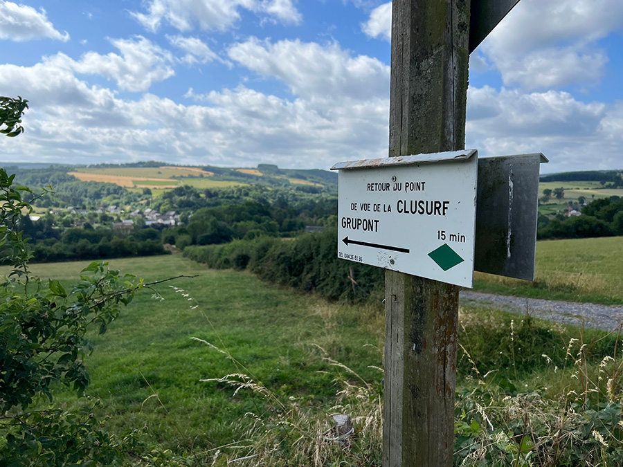
In the Ardennes and the rest of Wallonia, there is an extensive offering for hikers. Wallonia boasts thousands of marked hiking trails and an extensive network of GR (Grande Randonnée) paths. However, the digital overview of these routes is scattered, and it can sometimes be difficult to find a suitable hiking route. While the hiking node system in Flanders has been a great success, few Walloon tourist organizations have adopted this model. At the moment, in South Belgium, there are only hiking nodes in the East Cantons and in Picardian Wallonia.
Virtual Hiking Node Networks
To avoid the costs and practical issues of physical signs, certain regions opt for virtual hiking node networks. In Flanders, tourist organizations such as Tourism Flemish Brabant and Tourism Province Antwerp already offer over 3,000 km of virtual hiking networks. These networks connect the most beautiful hiking routes, but without physical markings in the landscape.
Our data shows that these virtual networks are nearly as popular as traditional signposted networks. Therefore, we have partnered with RouteYou, another Belgian company specializing in recreational navigation, to connect the most scenic hiking routes in Wallonia with virtual nodes. Hikers can now plan and follow the most beautiful routes in the stunning Belgian Ardennes using the familiar node system with the NodeMapp Hike app.
How Are the Most Beautiful Hiking Routes Determined?
Using data from over 470,000 user-created hiking routes on RouteYou, existing GR (Grande Randonnée) paths, and routes from professional organizations, a virtual hiking node network of over 12,750 km was compiled in the Belgian Ardennes and some other Walloon areas. 85% of these routes follow unpaved paths. Virtual node numbers have been placed at the intersections of these routes so that users can plan routes from node to node in the familiar way.
This initial version of the virtual network covers parts of Namur, Luxembourg, and Hainaut. More Walloon areas will be added soon. The network is dynamic and will be updated regularly based on feedback from professional organizations and users familiar with the area.
How to Plan and Follow a Route?
Very simple: open the route planner through our app or website and select an area in the Belgian Ardennes. When you zoom in deeply enough, you’ll see blue numbered nodes. Choose the nodes you want to walk past, and we will create the best route for you. You can then navigate along the route using our app. Alternatively, you can download the route as a GPX file to use in another app or GPS device.
Hunting Areas
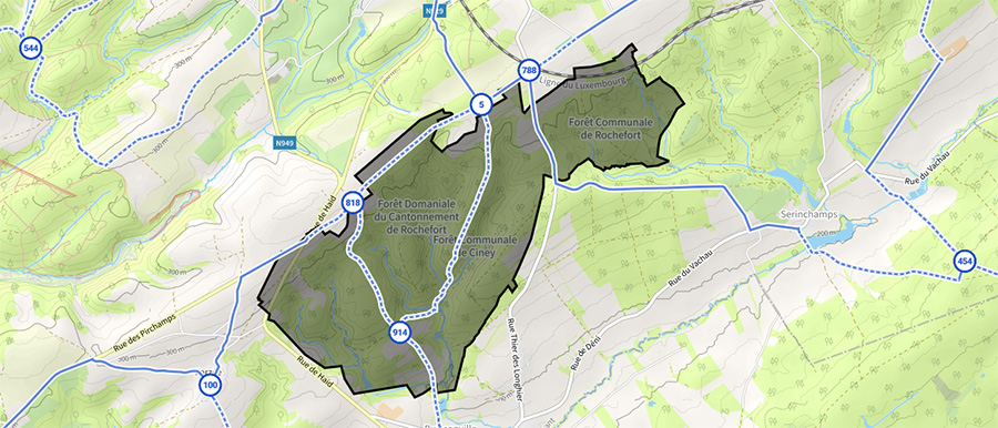
In Wallonia, especially in the Ardennes, hunting areas are an important consideration for hikers. Every year, from October to December, many forest areas are closed for hunting. To provide accurate information to our users, we display which hunting areas are active and where. In our planner, you can choose the day you plan to hike, and we will show the hunting areas (that we are aware of) that are active on that day. These hunting areas are recognizable in our route planner as the black shaded regions. We obtain this information from an official database of the Service public de Wallonie (SPW).
Would You Like to Help?
Together we are stronger. Do you work for an organization that is involved in hiking tourism in Wallonia? Or are you an enthusiastic user of our app who often hikes in Wallonia and would like to help us optimize the hiking node network there? Please get in touch with us at support@nodemapp.com.


 Upgrade to Premium Plus