 Biking
 Login
Login More
More EN
EN Premium
Via Drostendiep to Coevorden
automatic translation
43.9 km • Coevorden
route offered by
 Addresse starting point (approximate)
Burgemeester de Kockstraat 34, 7861 AD Oosterhesselen, Nederland
 signage
The route is fully signposted with nodes.
 Description
You start the route near havezate De Klencke. The stream near here used to be called Drostendiep. And this because at that time the owner of the manor was also the drost of Drenthe. A drost was a kind of officer of public order and represented the local lord. Today you will not see much of the Drostendiep, but you will still follow it as far as Coevorden.
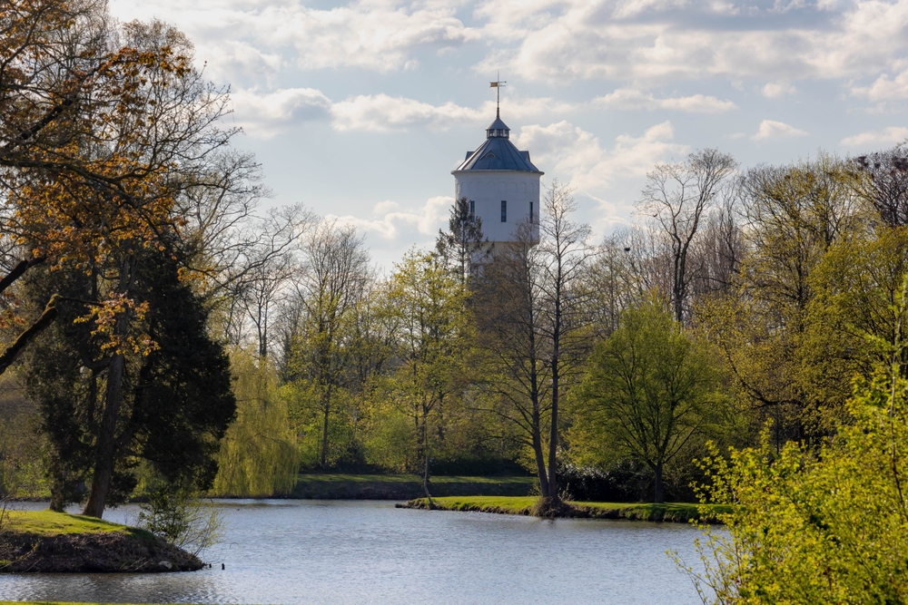
Here history takes you through the rich past of Drenthe's oldest city. Start with the mighty Castle of Coevorden. It not only depicts its illustrious history, but also symbolizes the flag of Drenthe. A little further on, the impressive Resistance Monument Coevorden honors the brave fighters of the Dutch resistance during World War II. Located in the attractive Van Heutszpark, this monument is accompanied by the stately water tower, which accentuates the cityscape as a silent witness of times gone by.
automatic translation
 nodes to follow
0 km
2.1 km
4.2 km
7.6 km
8.2 km
9.6 km
10.6 km
16.1 km
19 km
21.7 km
25.8 km
30.4 km
31.2 km
31.3 km
33.9 km
36.3 km
41.7 km
42 km
43.8 km
43.8 km


 Upgrade to Premium Plus
