 Biking
 Login
Login More
More EN
EN Premium
Stage 6: Along canals and be-MINE
automatic translation
68 km • Lommel
 official route
 Addresse starting point (approximate)
De Soeverein Welstraat
 signage
The route is fully signposted with nodes.
 Description
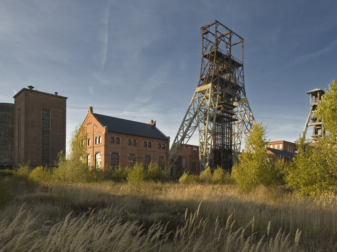
Stage 6 of 6: One last time we crawl on the saddle for the final stage of our multi-day bike tour. We draw our starting line in the sand of the Lommel Sahara. We cycle first along the Bocholt-Herentals canal and then from the Blauwe Kei along the canal to Beverlo. Near the garrison town of Leopoldsburg, we take a detour along the Geheserheide nature reserve. Then the terrils of Beringen announce the impressive mining site be-MINE. From mining museum to dizzying climbing walls and an indoor diving center ... you name it, it's here. With oversweet pastries from the Turkish bakery, we cycled along the Coal Railway towards the Albert Canal. On the towpath we set course for Hasselt and at junction 93 we smell our stable... We cross the canal and in the distance we see The Horse Stables of Herkenrode Abbey site. The finish of our Tour de Limbourg is right there on the terrace. One last lap?
automatic translation
 nodes to follow
0 km
7.8 km
7.8 km
9.2 km
9.4 km
10.8 km
13.7 km
17.4 km
18.4 km
18.6 km
19.4 km
23.5 km
28.7 km
29.2 km
33 km
34.9 km
39.4 km
41.2 km
46.4 km
46.9 km
52 km
57.3 km
57.4 km
58.3 km
59.5 km
59.6 km
61.3 km
63.6 km
64.4 km
64.6 km
68 km


 Upgrade to Premium Plus
