 Biking
 Login
Login More
More EN
EN Premium
Stage 5: Woodland with Cycling through the Trees
automatic translation
80 km • Kinrooi
 official route
 Addresse starting point (approximate)
Jachthaven De Spaanjerd Maasstraat
 signage
The route is fully signposted with nodes.
 Description
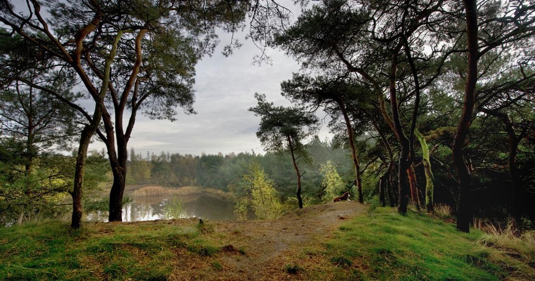
Stage 5 of 6: past De Spaanjerd marina and the Maasplassen lakes, we warm our legs again. The longest stage takes us through the rural north of the province. Fields, meadows, forests, heath and green creek valleys alternate. It is blissful cycling here because ... the countryside is as flat as a buckwheat pancake in Campine. Old water mills and windmills are still spinning as lazily as our pedals. Past Kinrooi, Bree and Peer, we cycle to "Cycling through the Trees" in Hechtel-Eksel. Here we climb to the ten-meter high treetops in National Park Bosland. Via the German military cemetery we ride into Lommel to hit the brakes one last time at the large glass tower of the GlazenHuis ... time for a drink!
automatic translation
 nodes to follow
0 km
4.6 km
6.4 km
8.5 km
10 km
11.6 km
16.6 km
18.6 km
22.9 km
23.5 km
24.4 km
27.2 km
31.2 km
34.1 km
37.5 km
38.4 km
41.6 km
46.7 km
51.2 km
52.3 km
53.6 km
54.9 km
57.1 km
57.1 km
58.5 km
60 km
66 km
69.3 km
73.2 km
75.1 km
76.6 km
76.9 km
80 km


 Upgrade to Premium Plus
