 Biking
 Login
Login More
More EN
EN Premium
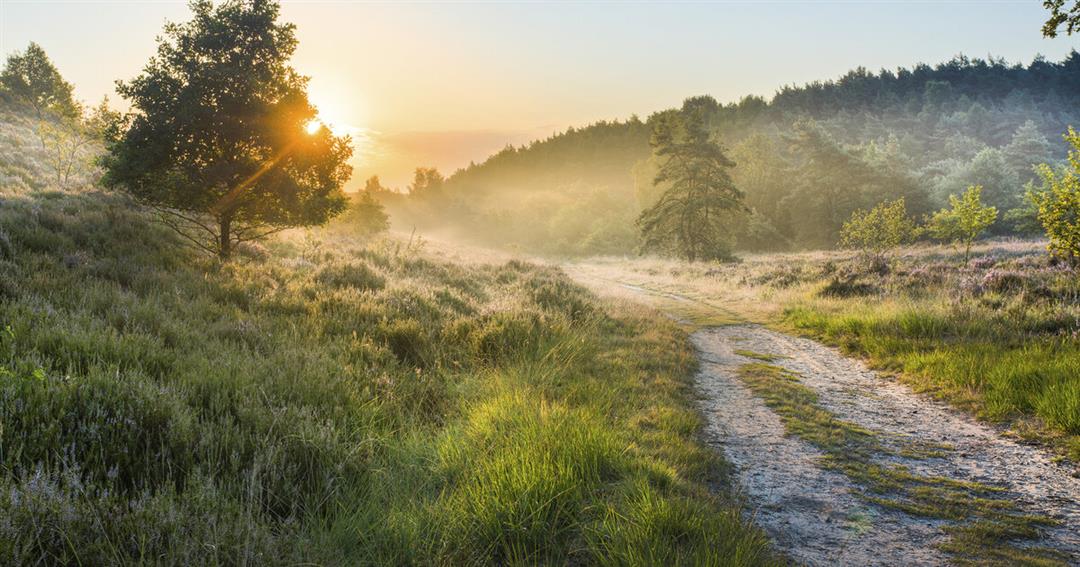
Stage 4: NPHK and Meuse Valley
automatic translation
73.6 km • Genk
 official route
73.6 km
0.0 km
0.0 km
 Addresse starting point (approximate)
Fietsen door het Water in Bokrijk
 signage
The route is fully signposted with nodes.
© Visit Limburg
 Description
Stage 4 of 6: Water first, the rest comes later. The rest? Even more water! From Cycling through Water in Bokrijk, we cycle north of Genk through the woods towards the Station of As. On top of the watchtower, we'll look at how we'll cross the Hoge Kempen National Park further on, before seeking the banks of the Maas in Maasmechelen. Downstream, we follow the Meuse through Leut and Stokkem, have a terrace with the Van Eyck brothers in Maaseik, buy a bottle of wine in Aldeneik, to crack it at our arrival spot in Ophoven.
automatic translation
 nodes to follow
0 km
0.8 km
1.8 km
6 km
7.6 km
8.2 km
14 km
16.7 km
17.3 km
19.9 km
21.9 km
22.4 km
25.3 km
25.3 km
29.5 km
33.2 km
36.9 km
37 km
37.1 km
37.3 km
42.3 km
44.3 km
46.6 km
50.5 km
52.8 km
54.8 km
55.2 km
59.7 km
59.9 km
60.6 km
66.1 km
67.8 km
67.8 km
67.9 km
71.7 km
73.6 km


 Upgrade to Premium Plus
