 Biking
 Login
Login More
More EN
EN Premium
Along Leenderbos and Dommel
automatic translation
23.9 km • Valkenswaard
route offered by
 Addresse starting point (approximate)
Molenstraat 210, 5556 TA Valkenswaard, Nederland
 signage
The route is fully signposted with nodes.
 Description
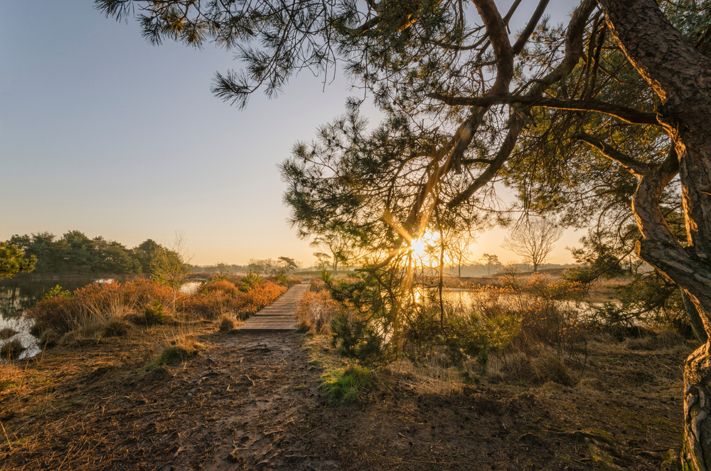
Discover the beautiful nature between Valkenswaard and the Belgian border in North Brabant. The first green lung on your route is the Leenderbos and its full glory. But it's not just nature, you also pass by the characteristic Sint-Janskapel in Leenderstrijp, hidden behind a graceful avenue of stately trees. This oasis of tranquility, with its simple brick exterior and interesting past as a holy place, invites you to step off and take in the history. The nearby Heimolen also forms a nostalgic image against the Brabant skies.
Continue your tour to the Saint Benedictus Abbey, better known as the Achelse Kluis. This place, with a rich history from hermits to Trappists, is the ideal place to get acquainted with the local beer, brewed with artisanal tradition.
Next, you cycle through Malpie nature reserve, meandering along the river Dommel. This nature reserve is mainly known for its vast heathland with small but also many large fens. The route is almost complete when you arrive at the Venbergse Watermolen, a historic jewel on the same Dommel.
automatic translation
 nodes to follow
0 km
3.6 km
7.1 km
7.1 km
7.2 km
7.2 km
10 km
13.1 km
14.7 km
15.3 km
18.3 km
18.8 km
23.5 km
23.8 km


 Upgrade to Premium Plus
