 Biking
 Login
Login More
More EN
EN Premium
Through the Gelderse Poort
automatic translation
40.5 km • Nijmegen
route offered by
 Addresse starting point (approximate)
Waalkade 83, 6511 XR Nijmegen, Nederland
 signage
The route is fully signposted with nodes.
 Description
Please note: during this bike route, you will use 2 ferry connections: Millingen aan de Rijn - Pannerden and Doornenburg - Pannerden. Check the sailing times in advance.
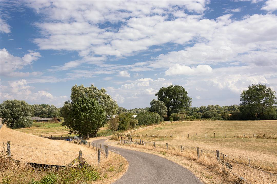
Discover the hidden treasures of the Gelderse Poort on this unique 40.5 km cycling route. Start your journey with a visit to the picturesque Groenlanden, a hamlet surrounded by a beautiful marsh and nature reserve where peace and space prevail. Halfway through the route, you'll discover the historic Sterreschans, a former fort. Take time to absorb the contours of the six-pointed design in the landscape and experience how this area once played a strategic military role at the division of the Rhine and Waal.
As you follow the Waal, you approach Fort Boven-Lent, also known as Sprokkelenburg. This fortification, once built to protect Nijmegen, has a rich history and now provides a unique stop for lovers of military architecture and peaceful river landscapes. Get on your bike and experience this authentic region in a way you won't soon forget.
automatic translation
 nodes to follow
0 km
0.5 km
0.5 km
2.9 km
3.5 km
4.6 km
5.6 km
6.2 km
6.2 km
10.8 km
13 km
13.6 km
15.4 km
16.7 km
16.8 km
17.4 km
18.1 km
21.3 km
22.7 km
23.6 km
23.8 km
25.4 km
25.4 km
28.2 km
31.7 km
34.6 km
36 km
36.7 km
37 km
37.9 km
38.1 km
39.7 km
40.4 km


 Upgrade to Premium Plus
